Live map
Live earthquake map
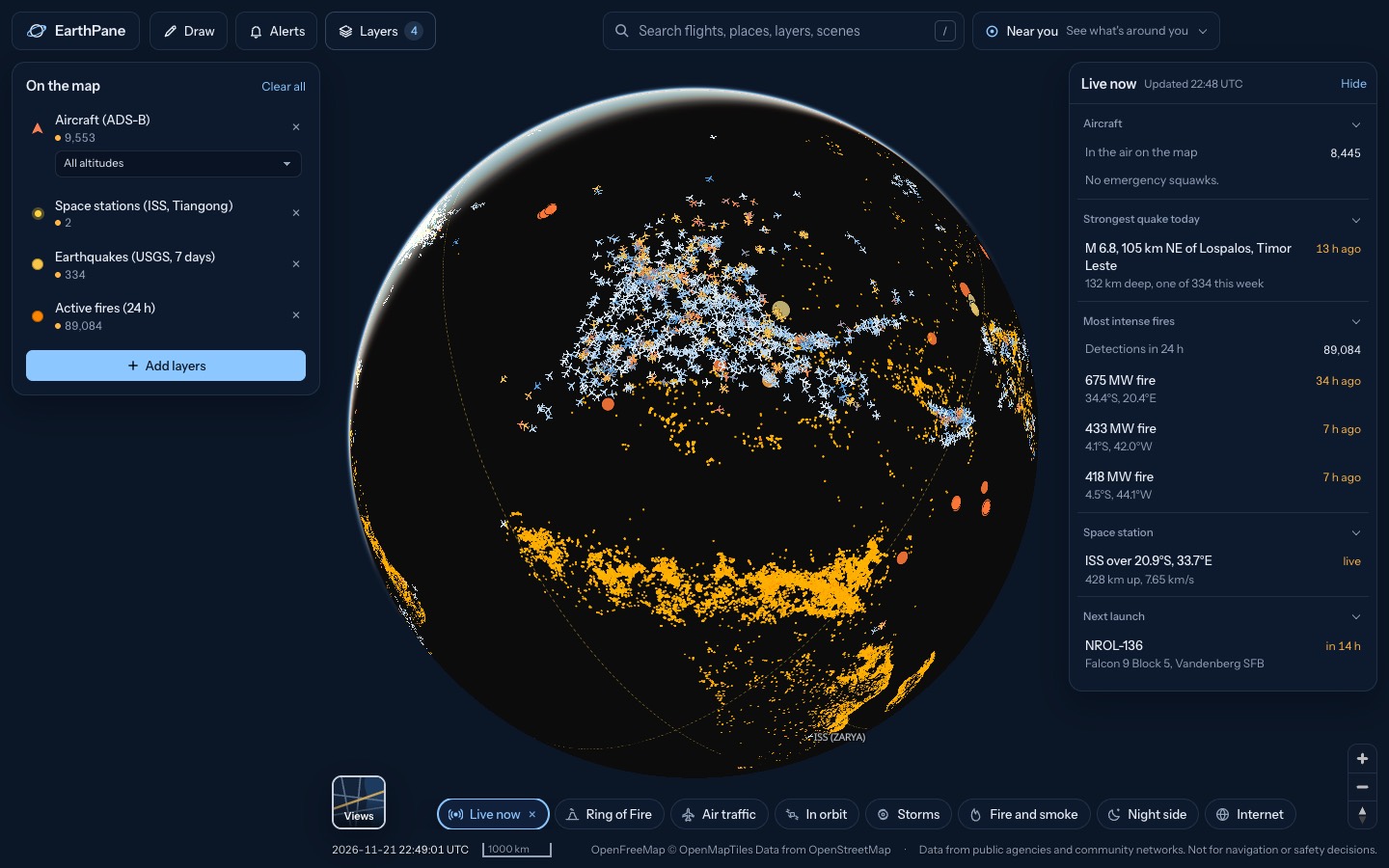
Earthquakes around the world from the past week, from USGS and EMSC, updated every few minutes. Tap any quake for its magnitude, depth and time, and see volcanoes and tsunami bulletins on the same globe.
Free · No sign-up · Works in any browser
What's on the map
- Earthquakes (USGS, 7 days)Earthquakes from the past 7 days (USGS)
- Earthquakes (EMSC, 48 h)Earthquakes from the past 48 hours (EMSC)
- Volcanoes (Holocene)Volcanoes active in the last 10,000 years
- Tsunami bulletinsCurrent tsunami warnings and bulletins
How to use it
- Open the map: circles grow with magnitude, so the biggest quakes stand out.
- Tap a quake for its magnitude, depth, location and how long ago it struck.
- Set an alert to get notified while EarthPane is open when a quake hits an area you care about.
Questions
How quickly do new earthquakes appear?
USGS data is refreshed every 2 minutes and EMSC every 3 minutes. Agencies usually publish a quake within minutes of it happening.
What is the difference between USGS and EMSC?
USGS (United States Geological Survey) covers the world with strongest detail in the US. EMSC (European-Mediterranean Seismological Centre) is often faster for Europe and the Mediterranean. EarthPane can show both.
Does it show tsunami warnings?
Yes. The Tsunami bulletins layer shows current warnings and messages from NOAA's tsunami centres.
Can I use it for safety decisions?
No. EarthPane is for awareness. Follow your local authorities for warnings and evacuation orders.
More live maps
Volcano map
Map of the world's volcanoes with this week's eruptions and unrest from the Smithsonian and USGS weekly report.
Live wildfire map
See active fires worldwide detected by NASA satellites in the last 24 hours, US fire perimeters and smoke on a free live map.
Hurricane and tropical storm tracker
Track hurricanes and tropical storms live from NOAA, with wind, rain radar and global cyclone and disaster alerts on one free 3D globe.