Live map
Live wildfire map
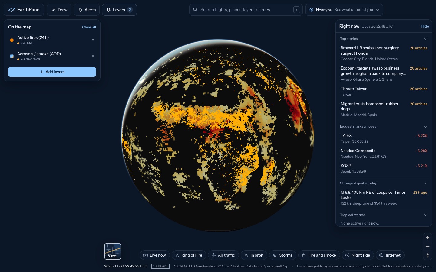
Fires detected by NASA satellites in the last 24 hours, anywhere on Earth, with outlines of active US wildfires and the smoke drifting from them.
Free · No sign-up · Works in any browser
What's on the map
- Active fires (24 h)Fires detected by satellite in the last 24 h
- Fire perimeters (US)Outlines of active US wildfires
- Aerosols / smoke (AOD)Smoke, dust and haze in the air
How to use it
- Open the map: each dot is a fire hotspot a satellite saw in the last day.
- Tap a hotspot for its intensity (fire radiative power) and when it was seen.
- Turn on Aerosols / smoke to see where the smoke is going.
Questions
How are fires detected?
NASA FIRMS uses the VIIRS and MODIS instruments on polar-orbiting satellites to spot heat from fires. Each satellite passes over a place a few times a day.
Are all the dots wildfires?
No. Satellites detect any strong heat source, including farm burning, gas flares and industry. In Africa and South America much of it is seasonal agricultural burning.
Does it show fire boundaries?
For the US, yes: the Fire perimeters layer shows mapped outlines of active wildfires from the National Interagency Fire Center.
More live maps
Live earthquake map
See earthquakes happening now on a live world map, from USGS and EMSC, updated every few minutes.
Live weather radar
Free live weather radar map showing rain and snow, plus wind, temperature and satellite cloud imagery on a 3D globe.
Hurricane and tropical storm tracker
Track hurricanes and tropical storms live from NOAA, with wind, rain radar and global cyclone and disaster alerts on one free 3D globe.