Live map
Hurricane and tropical storm tracker
Active hurricanes and tropical storms in the Atlantic and eastern Pacific from NOAA's National Hurricane Center, with cyclone alerts worldwide from GDACS, live wind and rain radar on the same globe.
Free · No sign-up · Works in any browser
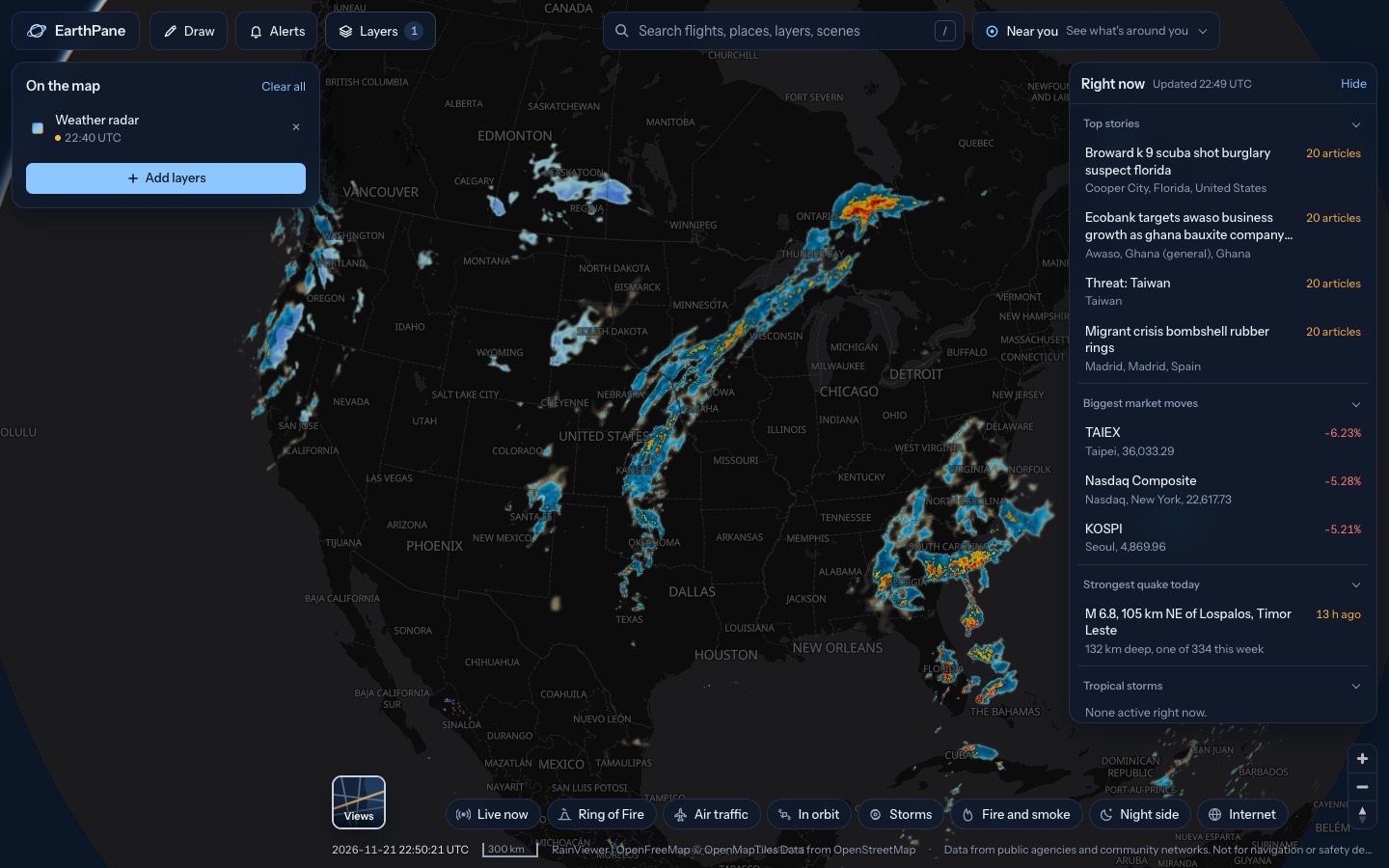
What's on the map
- Tropical stormsHurricanes, typhoons and tropical storms
- Wind (model)Wind speed and direction from a forecast model
- Weather radarRain and snow from weather radar
- Disaster alertsGlobal disaster alerts, graded by severity
How to use it
- Open the map: active storms show at their current position.
- Tap a storm for its name, strength, pressure and which way it is moving.
- Keep Wind and Weather radar on to see the storm's structure and rain.
Questions
Where does the storm data come from?
From NOAA's National Hurricane Center, refreshed every 15 minutes. Disaster alerts come from GDACS, the UN and EU global disaster alert system.
Does it show typhoons?
National Hurricane Center storms cover the Atlantic and eastern Pacific. Typhoons and cyclones elsewhere appear through GDACS disaster alerts.
What if no storms are showing?
Then none are active in those basins right now. The Atlantic season runs from June to November.
More live maps
Live lightning map
See lightning strikes from the last 10 minutes on a live map, detected from space by weather satellites, with thunderstorm cells and their movement.
Live weather radar
Free live weather radar map showing rain and snow, plus wind, temperature and satellite cloud imagery on a 3D globe.
Live earthquake map
See earthquakes happening now on a live world map, from USGS and EMSC, updated every few minutes.