Live map
Volcano map
More than a thousand volcanoes active in the last 10,000 years, with the ones erupting or restless this week highlighted from the Smithsonian and USGS weekly volcanic activity report.
Free · No sign-up · Works in any browser
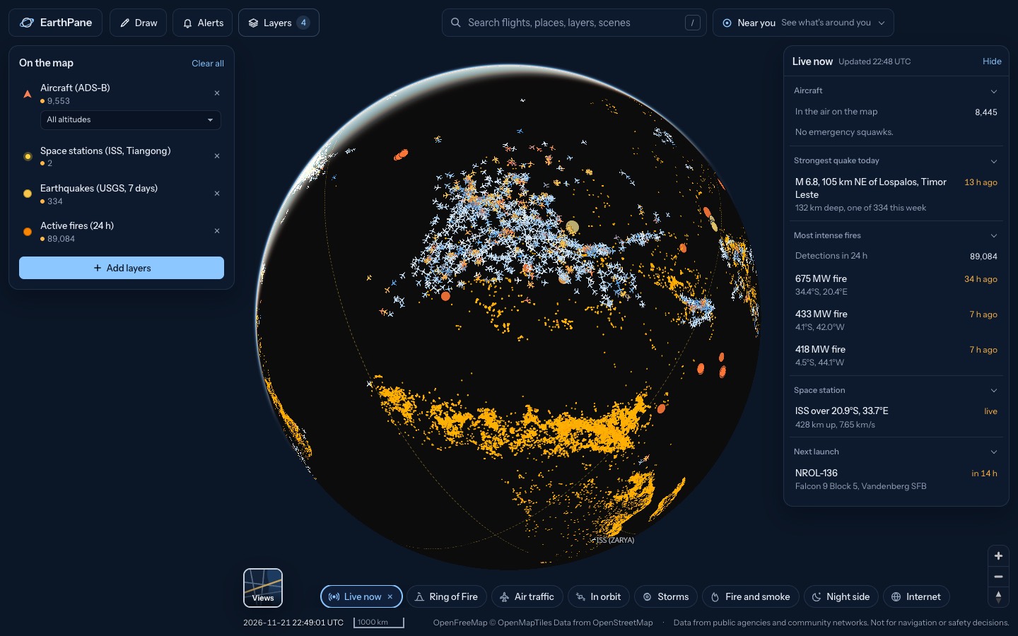
What's on the map
- Volcanoes (Holocene)Volcanoes active in the last 10,000 years
- Volcanic activity this weekVolcanoes reported active this week
- Earthquakes (USGS, 7 days)Earthquakes from the past 7 days (USGS)
How to use it
- Open the map to see volcanoes across the Ring of Fire and beyond.
- Tap a highlighted volcano to read this week's activity report.
- Keep earthquakes on to see seismic activity around volcanoes.
Questions
Where does the volcano data come from?
The volcano list is from the Smithsonian Global Volcanism Program. Weekly activity comes from the Smithsonian / USGS Weekly Volcanic Activity Report.
How often is it updated?
The weekly report is checked every few hours and changes once a week. Earthquakes on the same map update every few minutes.
More live maps
Live earthquake map
See earthquakes happening now on a live world map, from USGS and EMSC, updated every few minutes.
Live wildfire map
See active fires worldwide detected by NASA satellites in the last 24 hours, US fire perimeters and smoke on a free live map.
Aurora forecast map
See where the northern and southern lights may be visible tonight with NOAA's live aurora forecast on a 3D globe, plus city lights at night.