Live map
Live lightning map
Lightning seen from space in the last 10 minutes by NOAA's GOES weather satellites, with thunderstorms traced from the clusters of strikes and the direction they are moving.
Free · No sign-up · Works in any browser
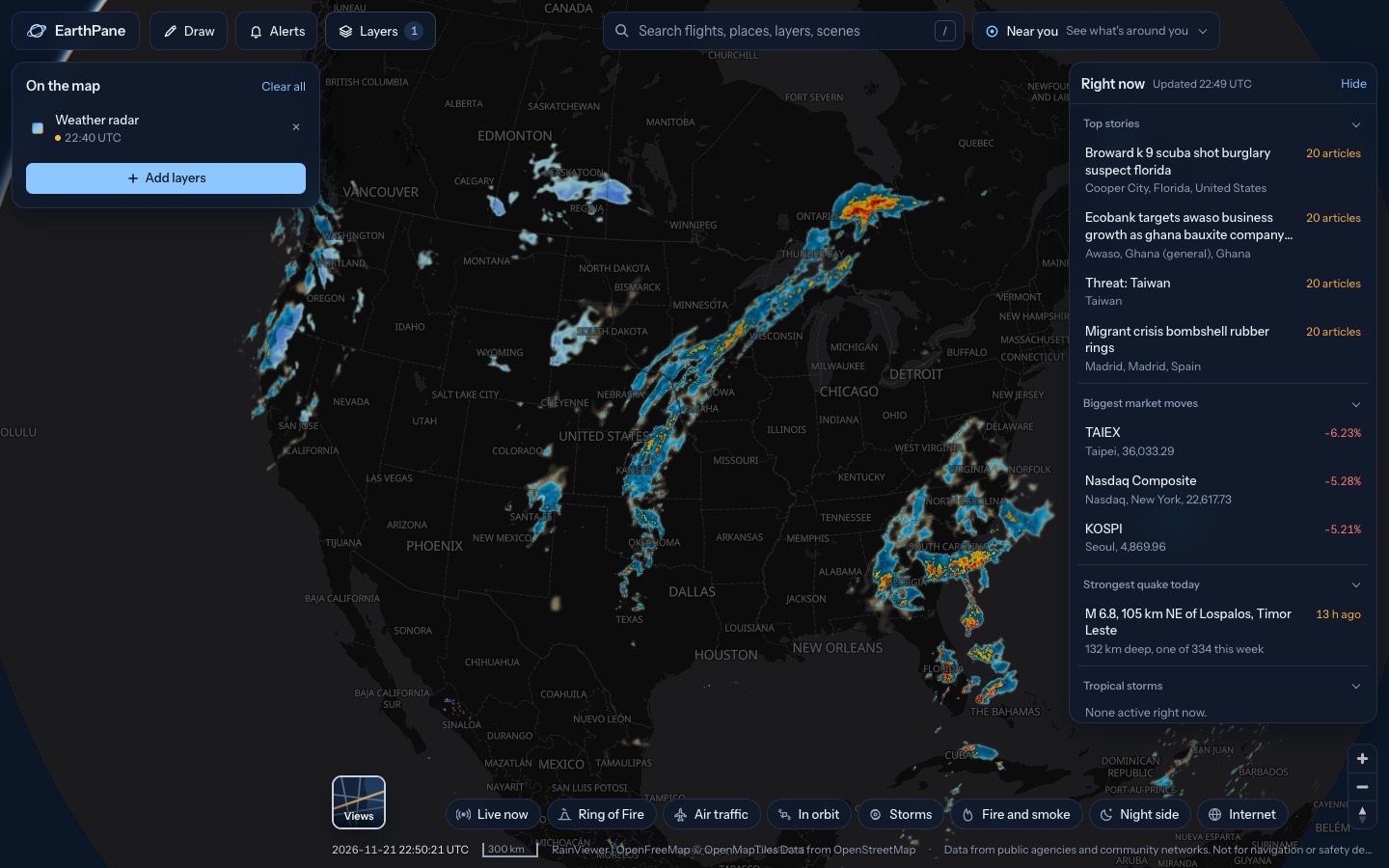
What's on the map
- Lightning (last 10 min)Lightning strikes in the last 10 minutes
- Thunderstorm cells (from lightning)Thunderstorms traced from lightning clusters
- Weather radarRain and snow from weather radar
How to use it
- Open the map over the Americas, where storms are mapped from GOES satellite data.
- Watch new strikes appear as the data refreshes every couple of minutes.
- Tap a thunderstorm cell for its flash rate, trend and estimated movement.
Questions
How is lightning detected?
The Geostationary Lightning Mapper on NOAA's GOES satellites sees lightning flashes from orbit over the Americas. EUMETSAT's Lightning Imager covers Europe and Africa when enabled.
Are the storm cells warnings?
No. Cells are grouped from lightning by EarthPane, and their rate, trend and movement are estimates. Use your national weather service for warnings.
More live maps
Live weather radar
Free live weather radar map showing rain and snow, plus wind, temperature and satellite cloud imagery on a 3D globe.
Hurricane and tropical storm tracker
Track hurricanes and tropical storms live from NOAA, with wind, rain radar and global cyclone and disaster alerts on one free 3D globe.
Live wildfire map
See active fires worldwide detected by NASA satellites in the last 24 hours, US fire perimeters and smoke on a free live map.