Live map
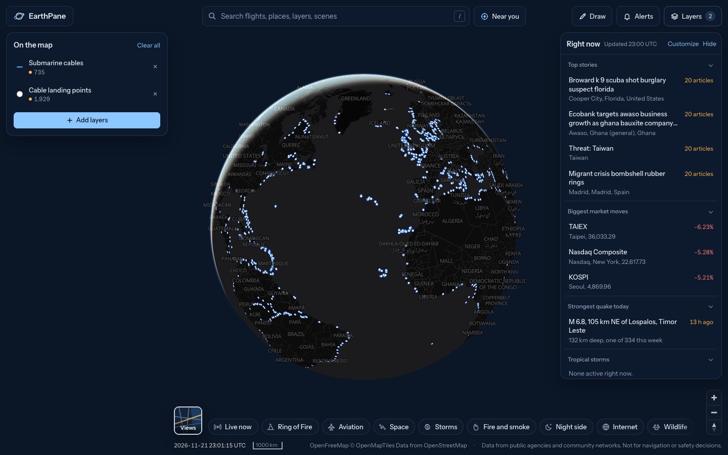
Submarine cable map
The undersea cables that carry the internet between continents, where they come ashore, the data centres they connect, and which countries are losing internet right now.
Free · No sign-up · Works in any browser
What's on the map
- Submarine cablesUndersea internet cables
- Cable landing pointsWhere undersea cables come ashore
- Data centers / colocationData centres and colocation sites
- Internet disruptions (24 h)Countries and regions losing internet
How to use it
- Open the map to see cables crossing the oceans.
- Tap a cable for its name, and a landing point for the cables that reach it.
- Keep Internet disruptions on to see outages, and whether they line up with a cable.
Questions
Where does the cable data come from?
From TeleGeography's Submarine Cable Map. Data centres come from PeeringDB and internet outages from IODA at Georgia Tech.
How many submarine cables are there?
Several hundred active and planned systems. The exact count on the map is shown in the layer list.
More live maps
Live ship tracker
Track ships live on a free map with AIS vessel positions, names, speed and course, plus the world's sea ports.
Live satellite tracker
Watch thousands of satellites orbit Earth in real time on a 3D globe: Starlink, the ISS, weather and GPS satellites.
Live earthquake map
See earthquakes happening now on a live world map, from USGS and EMSC, updated every few minutes.