Live intelligence map
Emergency squawk tracker
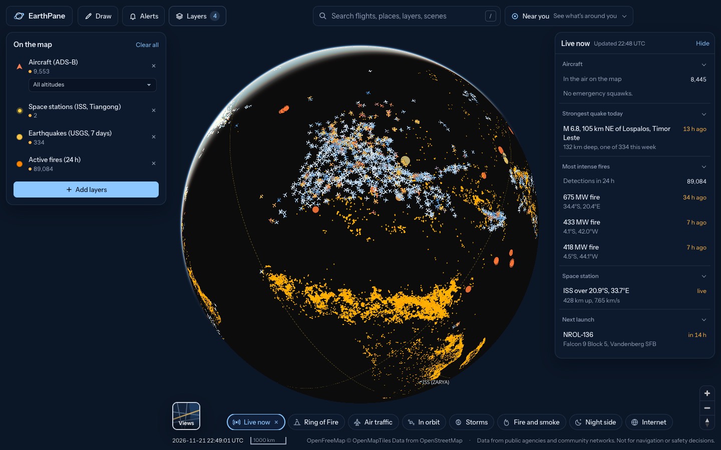
Aircraft broadcasting an emergency right now, from a general emergency (7700) to radio failure (7600), unlawful interference (7500), medical and low-fuel calls. They are listed first in Right now.
Free · No sign-up · Works in any browser
What's on the map
- Aircraft (ADS-B)Live aircraft positions, coloured by altitude
- AirportsAirports worldwide, from big hubs to airstrips
- Airport delays (US)US airports with ground stops or delays
How to use it
- Open the map and look at the Aircraft section of Right now. Any plane squawking an emergency is listed there with its code.
- Tap it to fly to the plane, then use Flight track to see its path and where it may be diverting.
- Keep the map open: aircraft refresh every 15 seconds, so a new emergency shows up within moments.
Questions
What do squawk 7700, 7600 and 7500 mean?
7700 is a general emergency, 7600 means the radio has failed, and 7500 means unlawful interference. Aircraft can also flag medical (lifeguard) and minimum-fuel emergencies.
Is every emergency shown?
Only emergencies the aircraft broadcasts over ADS-B where a receiver hears it. Many end safely within minutes, and some squawks are set by mistake and corrected.
Where does the data come from?
From OpenSky Network, adsb.fi and adsb.lol, which collect ADS-B broadcasts from volunteer receivers worldwide.
More live maps
Live flight tracker
Track live flights on a free 3D map.
Military aircraft tracker
Track military aircraft live on a free 3D map: tankers, transports, patrol and surveillance planes flagged as military by their transponders.
What's above me right now?
See what is flying above you right now: planes, satellites, the ISS, plus nearby quakes, fires and storms.