Live map
Tsunami warning map
Current tsunami bulletins from NOAA, shown with the earthquakes that triggered them. When a large quake strikes, this is the fastest way to see whether a tsunami message went out.
Free · No sign-up · Works in any browser
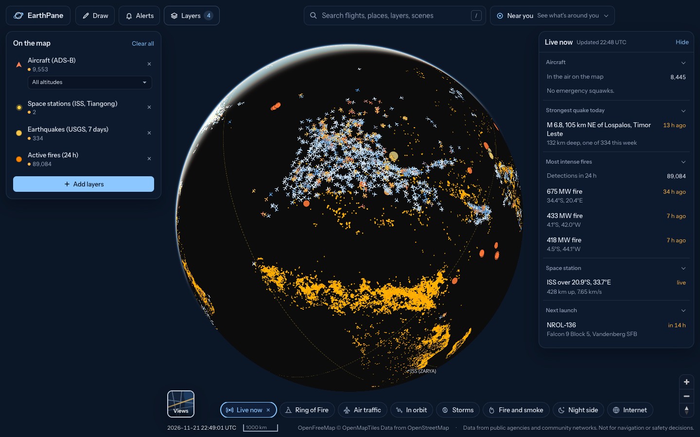
What's on the map
- Tsunami bulletinsCurrent tsunami warnings and bulletins
- Earthquakes (USGS, 7 days)Earthquakes from the past 7 days (USGS)
- Earthquakes (EMSC, 48 h)Earthquakes from the past 48 hours (EMSC)
How to use it
- Open the map. Any current tsunami bulletin appears at its source, with the earthquakes of the past week around it.
- Tap a bulletin for its level (warning, advisory, watch or information) and the full message.
- Set a Tsunami bulletins alert in Alerts to be told when a new one is issued.
Questions
Where do tsunami bulletins come from?
From NOAA's tsunami warning centers via tsunami.gov, refreshed every 5 minutes. They cover the Pacific, Atlantic and Caribbean.
Does an empty map mean no tsunami?
It means no current NOAA bulletin. Local authorities may issue their own warnings. If you feel a strong earthquake near the coast, move to high ground without waiting for any map.
More live maps
Live earthquake map
See earthquakes happening now on a live world map, from USGS and EMSC, updated every few minutes.
Volcano map
Map of the world's volcanoes with ongoing eruptions from the Smithsonian and US volcano alert levels from USGS.
Hurricane and tropical storm tracker
Track hurricanes and tropical storms live from NOAA, with wind, rain radar and global cyclone and disaster alerts on one free 3D globe.